Why canoe mail still exists
People tend to picture mail as a truck route or a sorting center. But some places don’t have roads that connect homes, or the “street” is water. It’s not one single island with one fixed routine. It shows up in different forms in places like the Canadian Arctic (for example, Nunavut communities where travel is often by boat in summer), the Venice Lagoon in Italy, and the river-and-canal towns of the Amazon basin. The core mechanism is simple: someone who already knows the water goes house to house by small boat, carrying letters, parcels, and whatever else can’t wait for the next big supply run.
The overlooked detail is how much the delivery depends on landings, not paddling. A canoe can cross open water quickly, but the real friction is getting in and out safely. A lot of “mail stops” are improvised: a rock shelf, a submerged step, a bit of sand that only appears at low tide, a dock that’s shared with fishing gear. That’s where the time goes.
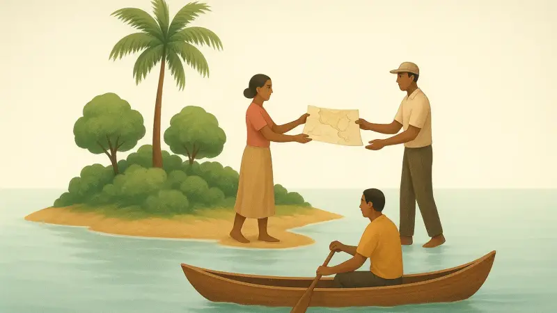
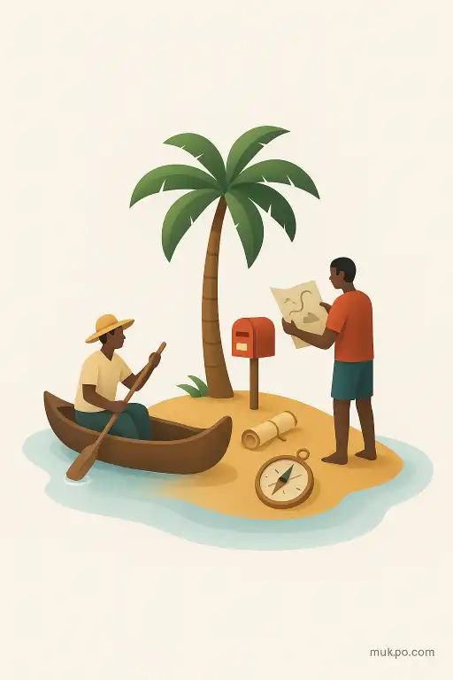
Homemade maps happen when the official one isn’t enough
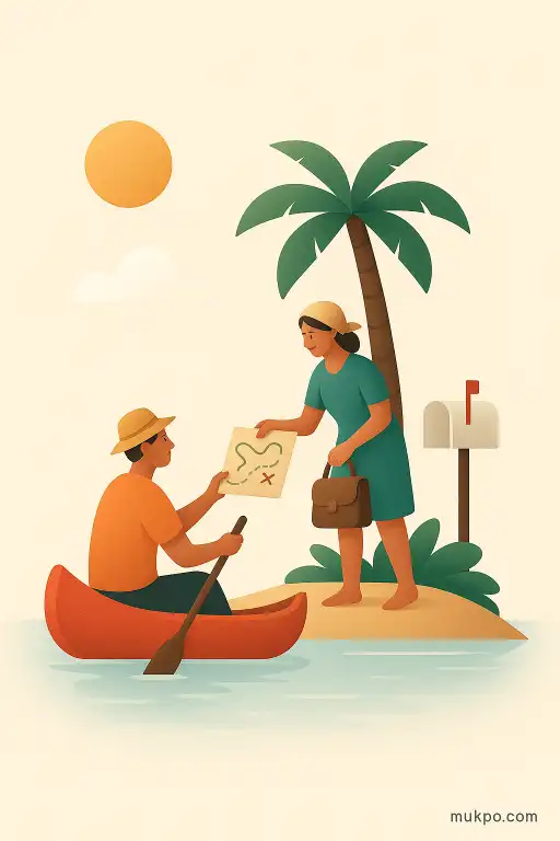
On tiny islands and water-bound neighborhoods, people often share maps that don’t look like maps. They’re hand-drawn sketches. They’re notes on a photocopy. They’re directions that prioritize what matters locally: which channel stays deep at low water, where the current grabs your bow, which dock belongs to which family, which shortcut turns dangerous when the wind swings. Official charts can be accurate and still feel unusable for daily errands because they don’t capture the “how” of getting there at 6 p.m. with a load in the boat.
These homemade maps also act like a social system. They spread through borrowing and copying. They get corrected by argument. A new resident learns faster from a scribble on a piece of cardboard than from a clean printed sheet, because the scribble is tied to lived experience and local naming. One inlet might have three different names depending on whose family you ask, and the map quietly signals which one you’re expected to use.
What delivery by canoe looks like on an ordinary day
A typical run starts with bundling, not boating. Mail is kept dry first. People use plastic bins, coolers with broken latches, heavy bags with a tight roll at the top. The canoe ends up looking like a moving storeroom. The route is rarely a neat loop, because it follows what the water allows that day. A headwind can turn a short crossing into the long way around. A low tide can force a stop early and a walk through mud carrying a parcel overhead.
Addresses can be informal or layered on top of formal ones. Someone might be “the blue house by the net shed,” which is meaningful locally even if it never appears on an envelope. That’s another reason the carrier matters. The carrier isn’t just a driver. They’re a translator between systems: the outside world that wants a street line, and the island world that navigates by landmarks, family names, and which dock is usable this week.
Exchange and trust are part of the infrastructure
When travel is small-boat travel, people trade information the way other places trade spare change. A quick handoff can include a note about a missing parcel, but also news about a broken plank on a shared landing, a new sandbar, or a neighbor who’s away so their packages shouldn’t be left in the open. The map exchange fits into that. A visitor gets a hand-drawn route. In return, they might bring back an updated detail: a new dock, a fallen tree, a channel that’s started silting up.
The trust piece is practical. A canoe can’t haul everything, and it can’t always land. So the system relies on agreed drop points: a covered box on a dock, a sheltered porch, a shared shed with a sign. People notice when something is out of place. That acts like security. It’s not that theft never happens. It’s that an unfamiliar bag on the wrong plank is instantly visible in a small network.
Why it persists even with phones and GPS
Phones help, but they don’t remove the need for a physical run. Fuel, medicine, replacement parts, school papers, and government documents still show up as objects. GPS can tell you where you are, but it doesn’t always tell you where you can actually step out of a canoe without getting pinned by a current or smashing the hull on rocks. That knowledge is local, and it changes faster than a published map can.
And there’s a quiet reason people miss: weather memory. Locals remember which corner of the bay gets sudden gusts, which stretch of shoreline bounces waves back into the channel, and which “safe” route turns ugly when the wind comes from a particular direction. Homemade maps often carry that memory in shorthand. A little arrow. A note like “only at slack.” A warning that looks casual until you try the crossing on the wrong afternoon.
Related reads
- Why crying can feel identical for joy and grief
- When memories fill in details that never happened
- The supermarket scanner that rang up free produce for random shoppers
- A vivisection in Edwardian London that ignited the Brown Dog riots
- A parking meter that started dispensing coins instead of taking them
- The city that repainted a highway overnight to look like a giant zebra