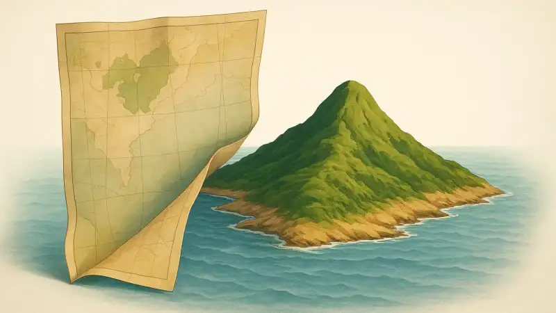
Why an island can “disappear”
It feels like maps should be the stable part of the story. But there are real cases where an island drops off charts and then shows up again years later, because the island itself is unstable. Surtsey, off Iceland, rose out of the sea during eruptions in 1963 and immediately went onto new maps. Then the ocean began eroding it from day one. In other places the cycle runs the other way: an island is mapped, then storms or subsidence reduce it below the surface, and cartographers eventually stop drawing it until it becomes visible again.
The core mechanism is simple. Coastlines are guesses made from observations taken at particular times. If the land is low, sandy, or volcanic ash, a few winters can change what a ship sees from the same coordinates.
Sea level, seasons, and what “counts” as land
One overlooked detail is tide and reference level. “Above water” can mean above low tide, above mean sea level, or above the highest normal tide. Those are different lines. A shoal that breaks the surface only at very low tide might be reported as an island by one crew and as a hazard by another. If later surveys decide it is “not permanently above water,” it can be removed from general maps even if fishers keep talking about it.
Season matters too. In the Arctic, a low gravel bar can look bigger when it is frozen to sea ice and driftwood is locked in place. In the tropics, a sand cay can expand in calm seasons and be shaved down by hurricane waves. A map made from a single pass at the wrong moment can set a label that lasts long after the shape has changed.
Volcanoes build fast, waves erase fast
Volcanic islands are the cleanest example of “reappearing.” When an undersea eruption piles up loose ash and pumice, the new land can be large enough to name and chart within weeks. But that fresh material is fragile. Unless lava flows cap it or the eruption continues long enough to build a solid core, waves can cut it down quickly.
Surtsey lasted because later lava strengthened it, even while it shrank at the edges. Other short-lived volcanic islands have vanished within months or years, which creates the odd paper trail: an island named, placed on maps, then quietly removed when later navigators report only breakers. If activity resumes decades later, or if a remnant reef builds up with sand again, the “same” place can return to charts under the old name or a new one.
Maps lag behind reality
Even when everyone agrees on what’s out there, map updates are slow and uneven. Nautical charts, satellite basemaps, tourist maps, and school atlases don’t refresh on the same schedule. A hydrographic office might update a hazard as soon as a survey confirms it, while a general atlas might keep an older coastline until a new edition is printed. That gap is where “vanished from maps” often lives.
Another easy-to-miss factor is how data gets generalized. Small features are sometimes removed on purpose when the map scale changes. An island that appears on a detailed coastal chart may be omitted from a smaller-scale regional map, then “reappear” when someone looks at a different product years later. The island didn’t move. The threshold for drawing it did.
Stories, names, and the long afterlife of a dot
Once an island name exists, it can outlive the land. Mariners repeat what earlier charts showed. Writers copy from older references. Sometimes the name drifts to a nearby reef or sandbank when the original feature erodes. Then, if a sand cay builds up again in the same area, people treat it as a return. From a distance, it can look like the island “came back,” even if the dry land is now a few hundred meters away from the older position.
That’s why these cases can be hard to pin down with one neat timeline. A feature can be physically intermittent, legally ambiguous, and cartographically inconsistent all at once. The result is an island that exists, doesn’t exist, and exists again, depending on which year’s chart you unfold and what the sea is doing that week.
Related reads
- How deep-sea worms cultivate sulfur bacteria on hydrothermal vents
- How the brain completes muffled conversations with confident fake words
- The Prague defenestration of 1618 that hurled regents and ignited the Thirty Years’ War
- Why consistent pre sleep behaviors lower nighttime anxiety
- How being ignored for a moment lights up the brain like a physical sting
- The neighborhood that woke up to a constant low hum