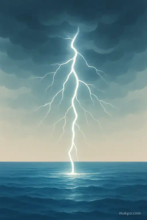
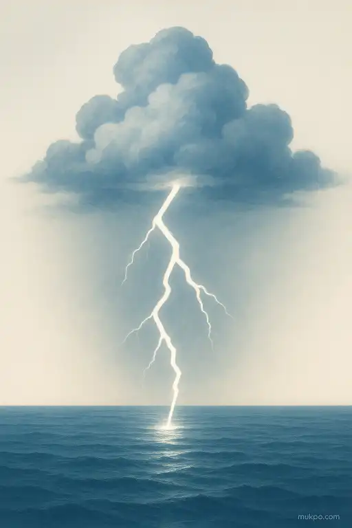
If you watch a lightning map for a while, you’ll notice it doesn’t spread evenly. It clusters. Some nights it lights up the Gulf of Mexico. Other times it hugs the Andes, or pops along the Himalayas, while huge stretches of open ocean stay quiet. This isn’t one single place or event. It varies by region and season. But the basic mechanism is consistent: lightning follows the kind of clouds that can grow tall enough to separate electric charge, and those clouds need a steady supply of warm, rising air and water vapor. Oceans and mountains feed that process in very different ways, so the bolts end up looking different too.
Thunderstorms don’t start the same way over water and land
Over land, the surface heats fast after sunrise. That quick warming makes air buoyant, so it rises in columns and bubbles. Those sharp, punchy updrafts help build tall cumulonimbus clouds, which is where most cloud-to-ground lightning comes from.
Over the open ocean, the surface temperature changes slowly. The air just above it is usually more stable during the day. Storms still happen, but the “trigger” is often something larger-scale, like a passing front, a tropical wave, or winds converging over a warm current. When storms do form over water, they can be broader and longer-lived, but the updrafts are often less explosive than a hot afternoon storm over land.
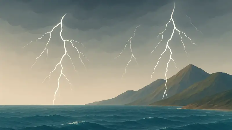
Mountains force air upward, even when the day is calm
Mountains don’t need the ground to heat up much to make rising air. Wind hitting a ridge has to go somewhere, so it gets pushed upward. That lift cools the air, water vapor condenses, and clouds thicken. If there’s enough moisture and instability, that forced lift can kick off thunderstorms when nearby lowlands stay quiet.
This is why lightning often lines up with terrain. The Rockies can light up along specific ranges. The Andes do the same. A detail people overlook is how narrow the “sweet spot” can be: one slope can be active while the next valley over is calm, because the wind direction decides which side gets the strongest uplift and deepest clouds.
Charge separation depends on ice, not just rain
Lightning needs more than a big rain cloud. The main charging process happens in the mixed-phase part of a storm, where ice crystals, supercooled water droplets, and graupel (soft hail) collide. Those collisions sort electric charge, usually leaving one part of the cloud more negative and another more positive.
Mountains tend to help storms reach that icy zone faster. The cloud base can be higher, and the terrain-driven lift can build deep towers that punch into colder air. Over oceans, cloud bases are often lower and the lower atmosphere can be more humid and uniform. That can support big clouds, but the temperature profile and updraft strength can change how much mixed-phase volume a storm has, which affects lightning frequency and the mix of intracloud versus cloud-to-ground flashes.
Sea salt, spray, and wet ground subtly change the electrical environment
The air isn’t electrically neutral in practice. It has ions and aerosols that affect how charge leaks away and how droplets and ice form. Over oceans, sea-salt particles and spray add lots of large, hygroscopic aerosols. Those can change cloud microphysics by encouraging fewer, larger droplets in some situations, which can influence how efficiently a storm builds the mixed-phase region where most charging happens.
Another overlooked detail is the surface itself as part of the circuit. Seawater is highly conductive. Saturated ground in coastal areas can be, too. That doesn’t “attract” lightning in a simple way, but it can affect how electric fields build near the surface and how return strokes propagate once a strike happens. Dry, rocky mountain terrain behaves differently than a conductive ocean surface, even under similar cloud charge overhead.
What you see also depends on where the storms travel and how they organize
Over water, storms often organize along boundaries that aren’t visible from shore: warm currents, sea-breeze collisions, or the edges of drier air masses. The Gulf Stream, for example, can help maintain strong temperature contrasts that guide storm tracks. Over mountains, the “boundary” is the terrain itself, and storms can repeatedly form in the same corridors as winds and valleys steer moisture and convergence.
Lightning patterns also shift with time of day. Land storms commonly peak in late afternoon and evening because surface heating is the engine. Over open ocean, lightning can peak at night in some regions because the atmosphere aloft cools while the sea stays warm, making the lower atmosphere more unstable. On a map it looks like different behavior, but it’s the same requirement being met at different hours: rising air that can build a tall, icy, charge-separating cloud.