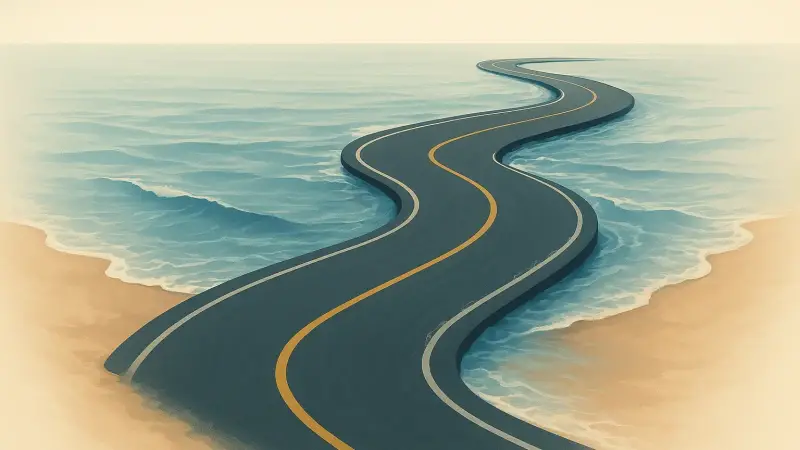
You can be driving on a normal-looking road and see something that makes you slow down: water standing across the pavement like it has always belonged there. That isn’t one single place. It happens in a few famous spots where a road crosses a tidal flat or a low causeway. The Passage du Gois in France does it twice a day. So does the Holy Island causeway to Lindisfarne in Northumberland, England, and parts of Bay of Fundy roads in Canada can get cut off the same way. The core mechanism is simple. The tide rises and the sea reclaims the lowest ground. Then it drops and the road reappears.
Why the sea gets to cover a road at all
These roads exist because they’re cheaper than a bridge and workable if the timing is predictable. They’re built on land that is only barely “land” at low tide. The surface is often set on compacted rock, concrete, or tightly packed gravel so it can survive being soaked and dried over and over.
The critical detail is height. A difference of even half a meter can decide whether a route stays passable or becomes a shallow channel. That’s why two roads in the same bay can behave very differently. One sits on a slight natural ridge. The other lies in a depression that fills early as the tide turns.
The clock behind “twice a day”
Most coasts have semidiurnal tides, meaning two high tides and two low tides in roughly 24 hours. “Roughly” matters. The timing shifts later each day because the Moon’s position moves, and local geography changes how the tidal wave arrives. So a road that is clear at 9 a.m. today might not be clear at 9 a.m. tomorrow.
The water doesn’t always come in as a smooth sheet, either. On shallow flats, the front edge can advance quickly once it finds a low channel. That’s why the change from “wet but passable” to “impassable” can feel sudden. It’s less like a bathtub filling and more like the tide connecting to the right pathway across the mud.
A concrete example: Passage du Gois
The Passage du Gois links the mainland to Noirmoutier in the Bay of Bourgneuf on France’s Atlantic coast. At low tide it looks like a plain road laid across sand and mud. At high tide it disappears under water for a period that varies with the tidal range and weather. You can see this on any visit: the edges don’t look like a normal shoulder because the “shoulder” is just intertidal ground.
One detail people overlook is how much the wind can change the experience. A strong onshore wind can pile water up and make the crossing flood earlier or deeper than the tide table alone suggests. Offshore wind can do the opposite. The tide still turns, but the water level at that exact spot is being nudged by the weather on top of the astronomy.
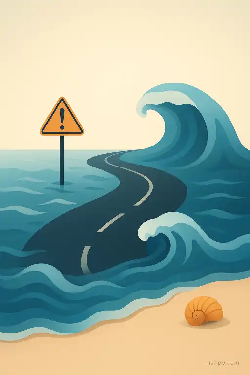
What the road is fighting: currents, sand, and salt
Even when the water is shallow, it can move fast. As the tide flows in and out, it has to squeeze through gaps and around raised sections of road. That creates scouring at the sides and in any small dip across the surface. Over time, a tiny hollow becomes a regular stream channel, and then the flood arrives there first.
Salt is the slow enemy. It works into cracks, it corrodes metal, and it accelerates wear on concrete and rebar. Maintenance isn’t just pothole filling. It can mean rebuilding edges, replacing markers, and reshaping approaches where sand migrates. A road like this is less “built once” and more “kept in place” against a landscape that keeps rearranging itself.
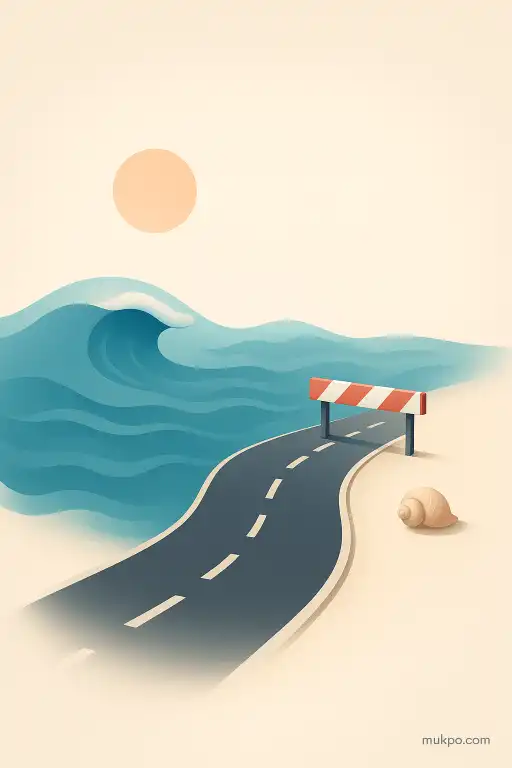
How people make a disappearing road usable
Because the road vanishes on schedule, the surroundings are designed for timing. You often see prominent tide boards, fixed depth markers, and high-visibility poles that outline the route when the flats look featureless. Some places add refuge towers or raised platforms along the line, not because the water is ocean-deep, but because it can rise above a person’s legs quickly and the current can push hard.
There’s also a social rhythm that forms around the gaps. Deliveries, work commutes, and tourism compress into the safe windows. Then the crossing goes quiet. The road doesn’t feel like it “closes” so much as it stops being a road for a while, and everyone nearby treats the sea’s timetable as part of the local infrastructure.
Related reads
- The lake that turns birds into stone
- Why peat bogs are such effective time capsules for pollen
- Why some rocks end up glazed with natural mineral polish
- The Alaskan town where night stretches for 65 days and residents throw sunrise parties
- Why catchy songs loop in your mind without warning
- The Taos hum that only some residents can hear